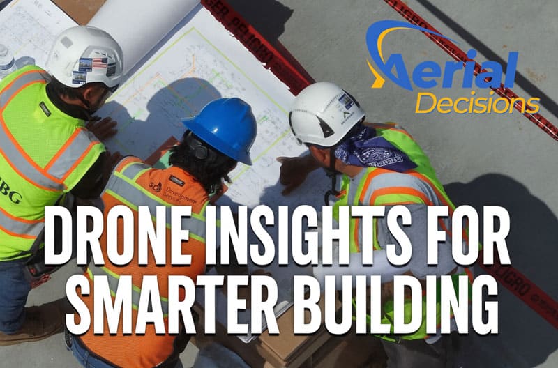

Construction Progress Monitoring
The ROI of Drones in Construction Projects
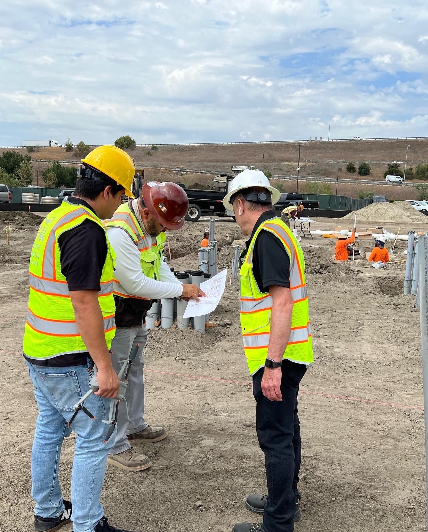
Introduction: Better Information Leads to Better Outcomes In many of my conversations with construction leaders, I’ve learned that most don’t invest in drone technology because it’s innovative. They invest because they want better information. Across the commercial construction projects we support throughout Southern California, Owners, Developers, and General Contractors are constantly balancing schedule pressures, cost […]