
Our Company
About Aerial Decisions
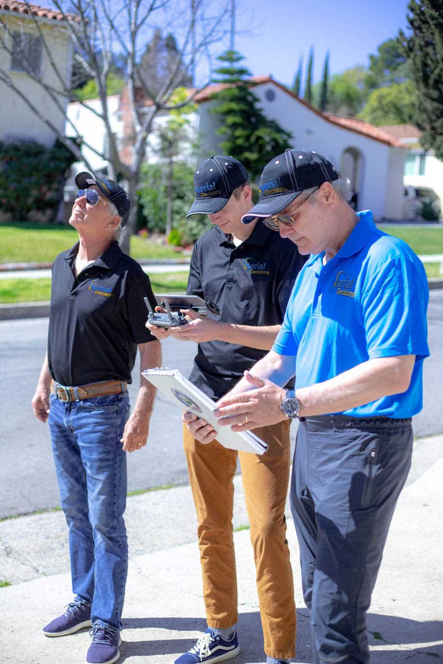
FAA-certified drone pilots delivering stunning aerial photography and video. Your strategic partner in drone applications for commercial construction and inspection services.
FAA-certified drone pilots delivering stunning aerial photography and video. Your strategic partner in drone applications for commercial construction and inspection services.
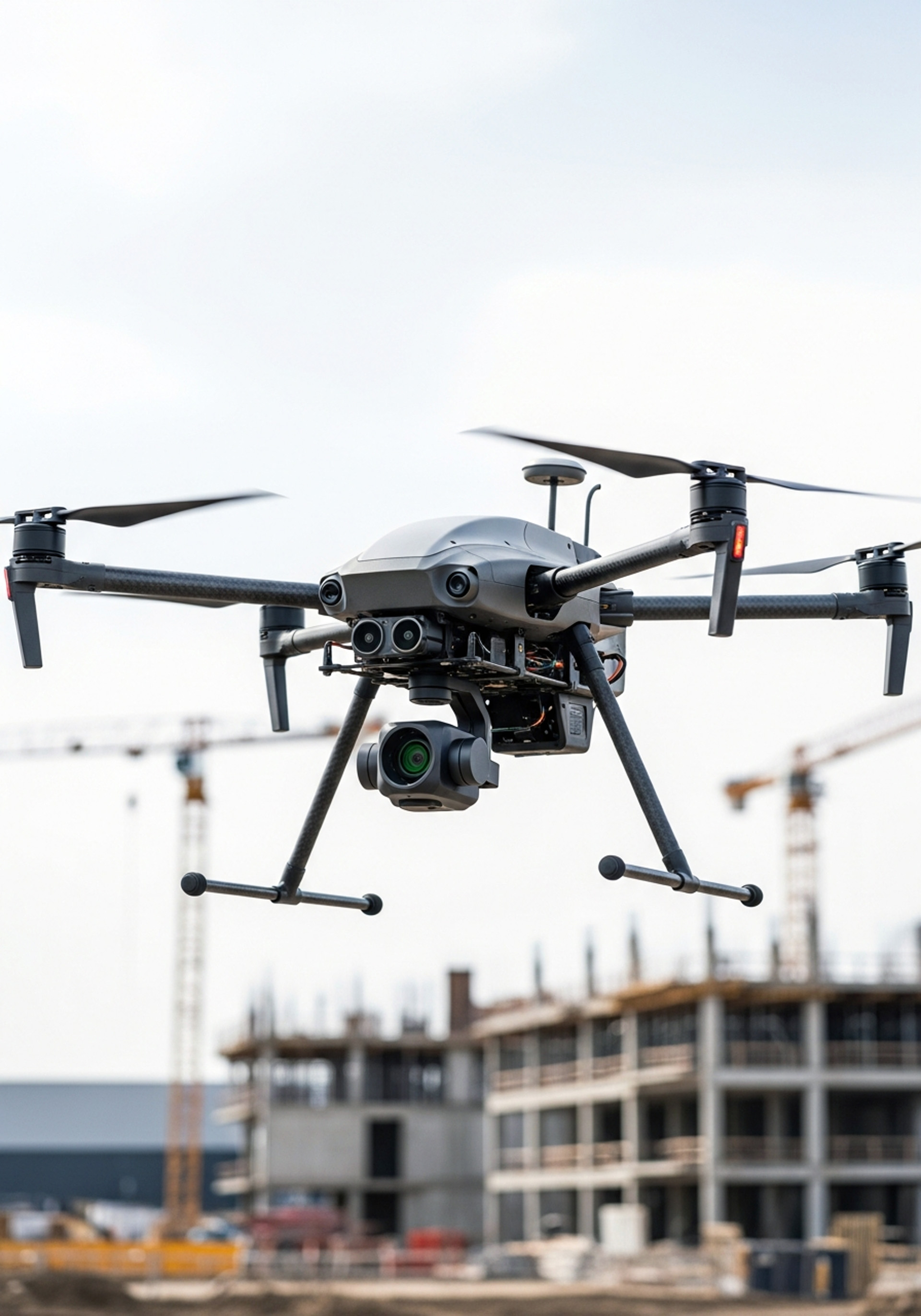
We specialize in providing cutting-edge drone data collection combined with industry-leading reality capture software solutions tailored for the commercial construction industry.
Our mission is to optimize the management of enterprise construction projects by offering precise aerial photography, detailed data analysis, and access to construction-specific software tools—all delivered through a network of FAA-certified and insured drone pilots.
We bring consistency to a fragmented drone pilot landscape — matching the right, vetted crews to your project so you get reliable results every time.
Our operations are designed with safety in mind from the start, with FAA-compliant workflows and the right support on-site when it matters.
No chasing multiple vendors or unclear pricing. We make it easy to schedule, deploy, and get what you need without the usual back-and-forth.
We focus on delivering outputs your team can actually use — so you can track progress, communicate clearly, and make decisions with confidence.
Aerial Decisions was founded on a simple belief: aerial data should be accessible, reliable, and actionable.
As we worked across projects and markets, a deeper opportunity became clear — not just a service gap, but an access gap.
Across the country, there is a growing network of highly capable drone pilots. Many are skilled, certified, and experienced — yet most operate without access to the tools, processing infrastructure, and operational support typically reserved for large enterprise providers.
At the same time, construction and infrastructure teams are under increasing pressure to deliver projects faster, safer, and with greater accountability — yet most still lack consistent, scalable aerial data solutions they can rely on.
These markets aren't broken. They've simply been underserved — and disconnected.
Aerial Decisions was built to change that.
We operate at the intersection of field execution and data delivery — connecting an underserved (and often fragmented) pilot network with the real-world demands of general contractors, developers, and asset owners.
Through a concierge-driven approach, we provide pilots with the structure, support, and processing capabilities they need to perform at a higher level — while delivering construction teams a seamless, repeatable experience from capture to insight.
The result is more than just drone services. It's a scalable system for turning aerial data into project clarity.
What began as a passion project has evolved into a focused platform for enterprise-grade drone services — supporting progress monitoring, reality capture, and data-driven decision-making across construction, logistics, and infrastructure.
We don't just fly drones. We expand access, elevate performance, and bring clarity to complex projects.
Schedule a consultation to discuss your project and see how aerial data can transform your workflow.