Drone Construction
Monitoring.
We turn drone data into clarity, accountability, and confidence — helping construction teams stay on track, reduce risk, and win more future projects.
At Aerial Decisions, we help general contractors, owners, and developers transform drone-captured site data into clear, consistent visual documentation and analytics that support better decision-making throughout the construction lifecycle.
Our progress monitoring, mapping, and reality capture workflows provide operational insight — not legal boundary determinations — so teams can track progress, validate quantities, improve communication, and reduce costly rework.
By capturing accurate, FAA-compliant aerial imagery and converting it into repeatable visual records, we help your firm demonstrate performance, maintain accountability, and present a technology-forward approach that resonates with owners, lenders, and stakeholders.
Construction firms leverage our drone data to support critical phases of your building projects
Keeping teams aligned, safe, on-schedule and on-budget.
Pre-Construction
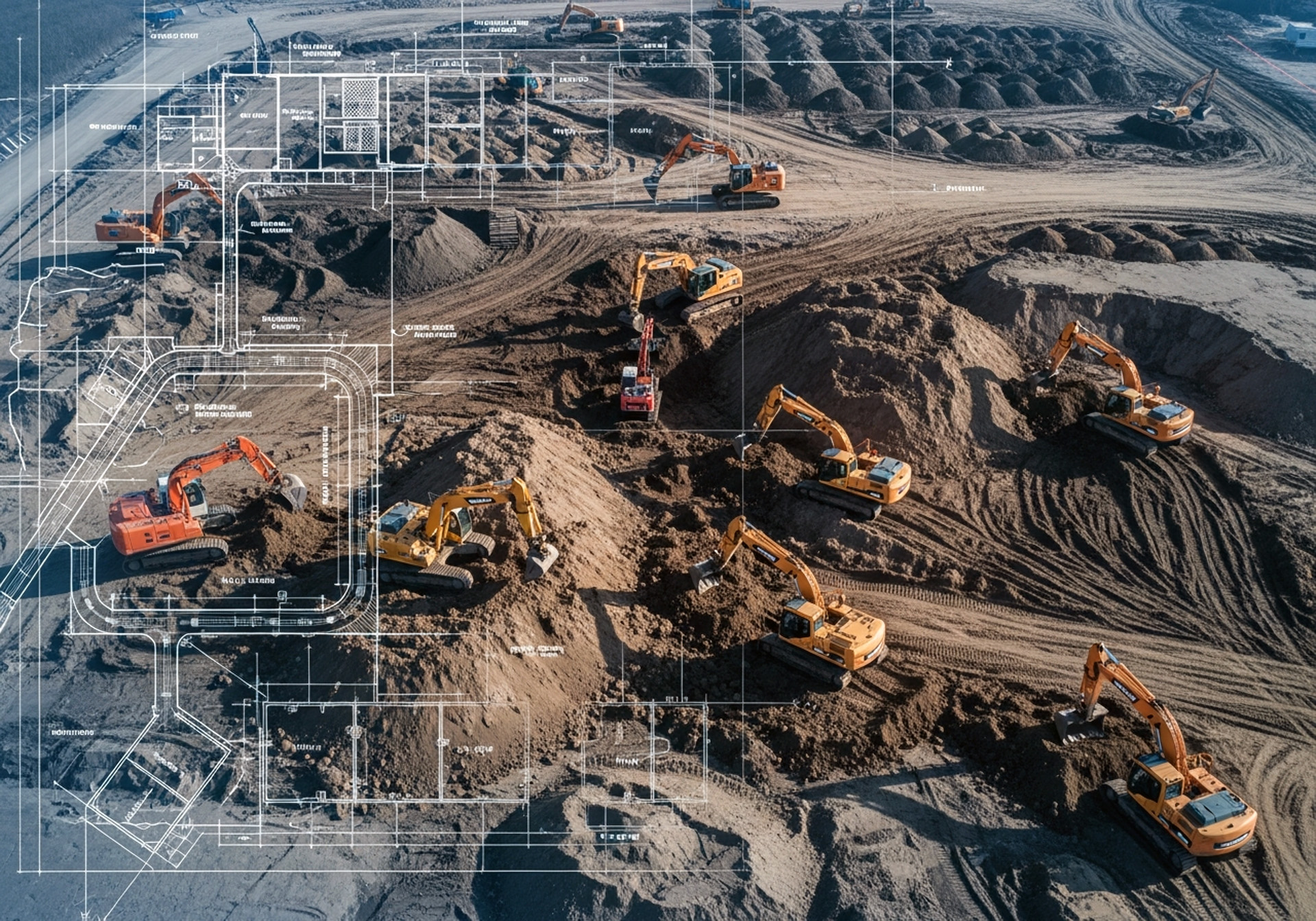
- Capture baseline orthomosaics for planning and coordination
- Use photogrammetry to model existing terrain and site conditions
- Support planning, permitting discussions, and stakeholder alignment with clear visuals
Deliverables are provided for planning and visualization purposes and do not establish legal boundaries or survey control.
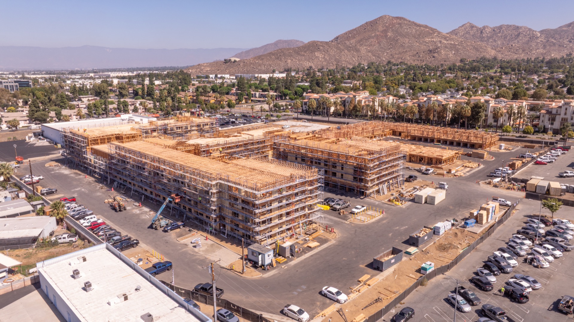
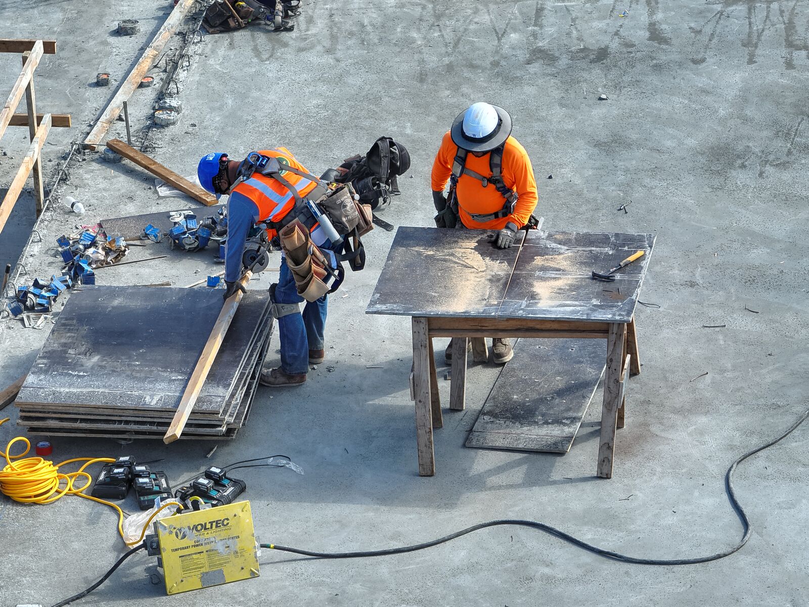
Active Construction
- Conduct weekly or monthly drone flights for consistent progress tracking
- Generate map-timeline comparisons to visualize progress over time
- Perform cut-and-fill and volumetric analyses for internal material validation
- Execute drone-based visual inspections of rooftops, scaffolding, and hard-to-reach areas
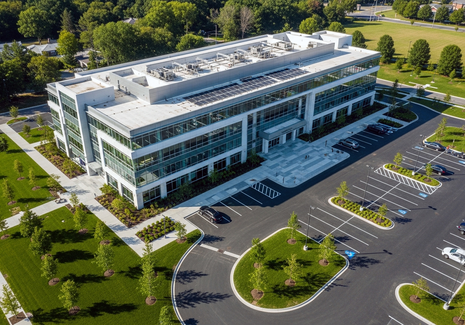
Post-Construction
Capture the completed project with high-resolution aerial documentation and visual assets that support project records, facility management, and marketing your firm's expertise.
- Document Final Site Conditions
- Create Reality Capture Deliverables
- Produce Marketing & Portfolio Media
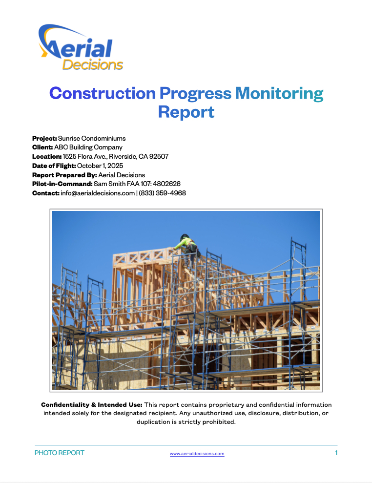
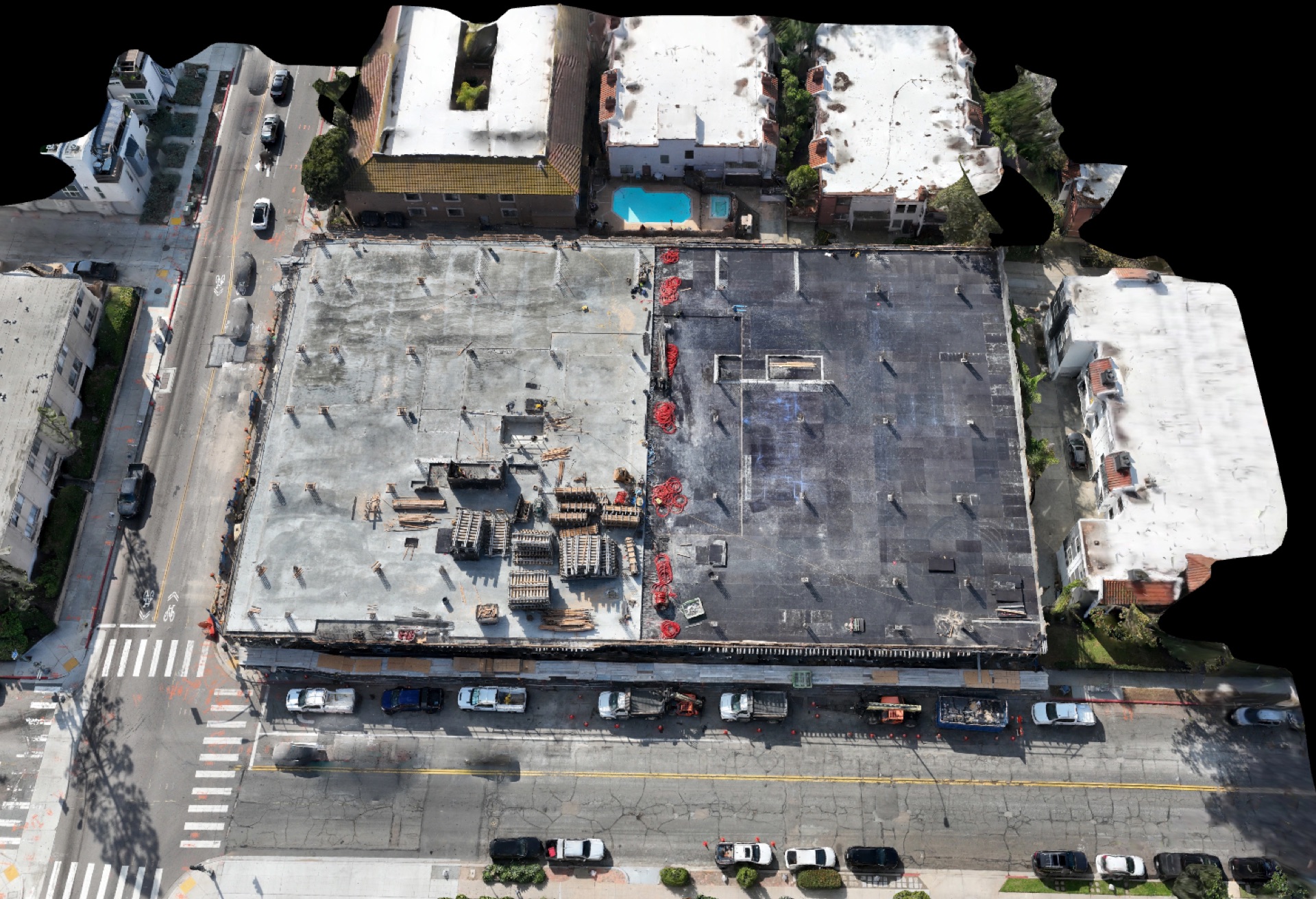
Construction Progress Monitoring Reports
Every project includes a weekly or monthly Construction Progress Monitoring Report prepared by Aerial Decisions, a drone services provider specializing in aerial data capture and visual documentation for commercial construction. Reports provide stakeholders with a consistent visual record of observed site conditions, captured from standardized vantage points to improve communication, documentation, and accountability.
Standard Report Elements
- Orthomosaic context imagery
- Cardinal directional views (North, South, East, West)
- Oblique overview angles for site-wide visibility
- Detail imagery of active work zones, staging, or infrastructure
All imagery is time-stamped and geotagged to support comparative tracking over time.
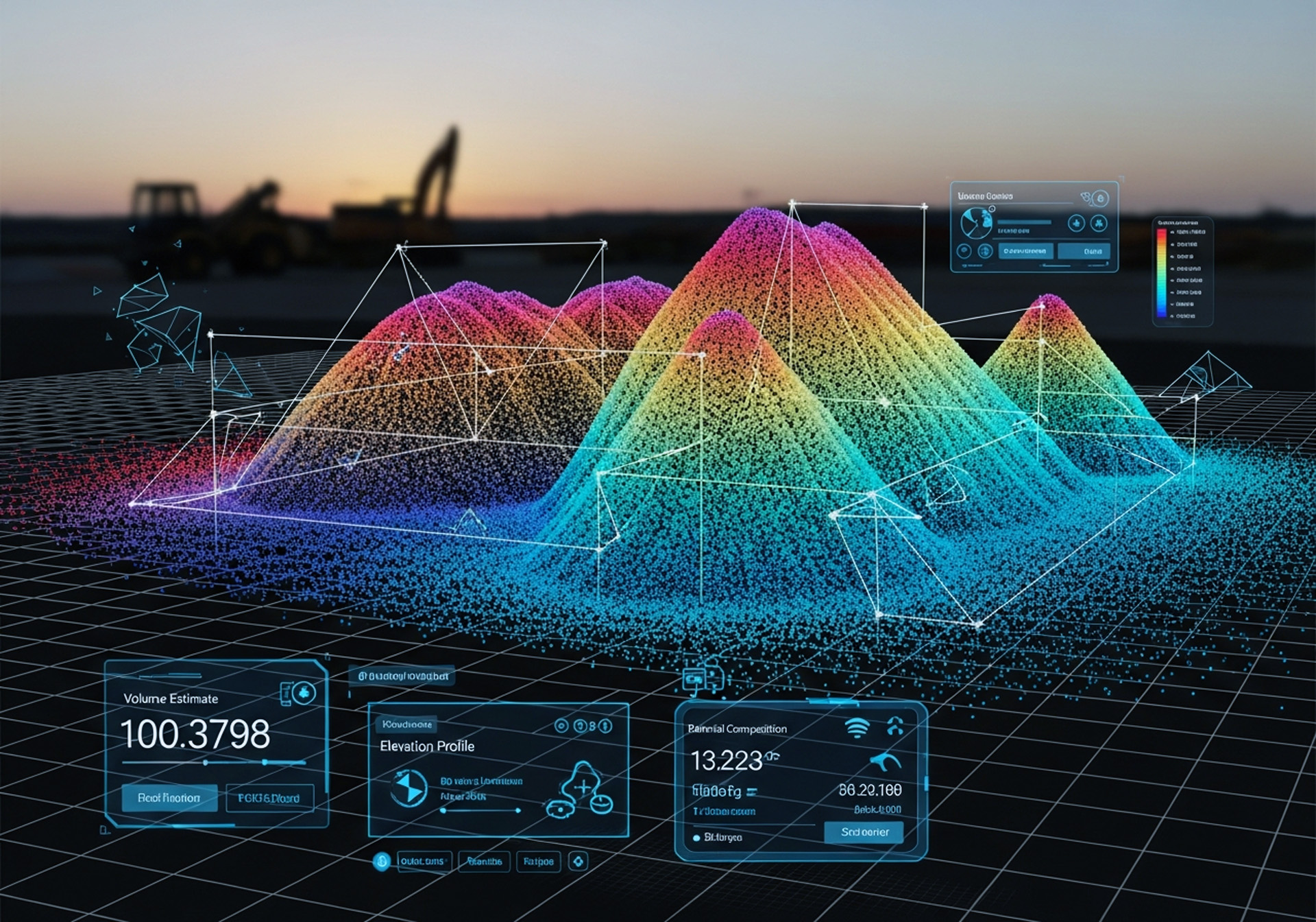
Progressive 3D Site Models
3D models that update with every flight, helping your team track progress, validate work in place, and maintain a clear visual record of the jobsite.
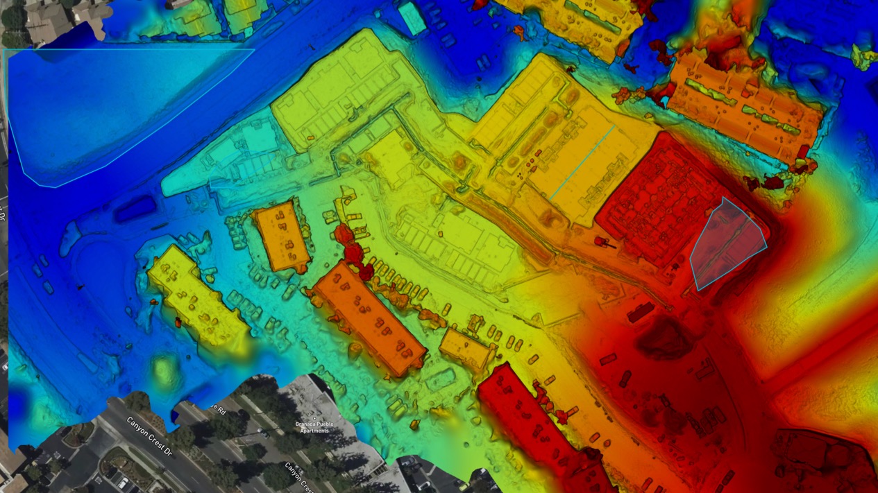
Cut & Fill Analysis
Precise earthwork calculations for budgeting and scheduling accuracy.
Volumetric Measurement
Material quantity verification to keep suppliers accountable.
Construction-Ready Outputs
- Orthomosaics
- Point clouds (LAS / LAZ)
- 2D and 3D models
- Digital Terrain Models (DTM)
- Digital Surface Models (DSM)
Why Drone Data Matters for General Contractors
Accountability
Verify subcontractor performance with time-stamped, geo-referenced imagery
Efficiency
Identify issues earlier and reduce downstream rework
Cost Control
Validate material quantities and supplier invoices using relative measurements
Transparency
Share consistent visual updates with owners and stakeholders
Growth
Demonstrate a modern, data-driven approach that helps win bids
Safety
Eliminate the need to climb scaffolding, rooftops, and other high-risk areas — reducing accident liability and keeping crews out of harm's way
Aerial Decisions is now a key part of how we manage projects — helping us stay on time and on budget with reliable, high-quality drone data.
Trusted By


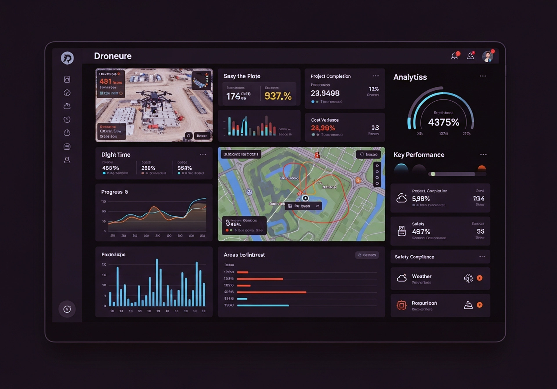
Analytics & Visualization
Interactive Dashboards
Quick insight into project status, progress metrics, and site conditions at a glance.
Reality Capture & Site Documentation
Immersive understanding of your jobsite through accurate 3D representations that update over time.
GIS-Ready Outputs
Compatible with standard construction workflows and mapping platforms for seamless integration.
Measurements and analytics are intended for operational insight and internal decision-making, not for boundary determination or legal survey use.
Survey-Supported Mapping
When a project requires survey-grade accuracy, legal reliance, or boundary-dependent outcomes, Aerial Decisions partners with California-licensed Professional Land Surveyors (PLS).
This partnership model ensures full compliance with California regulations while delivering the efficiency of modern drone data capture.
Software-Optimized Drone Data
Aerial Decisions is platform-agnostic, leveraging industry-leading cloud-based visualization, mapping, and analytics tools to convert drone flights into construction-ready intelligence.
Deliverables May Include
- Orthomosaic imagery
- Elevation models
- 3D meshes and point clouds
- Visual timelines and comparative views
All datasets are processed with a focus on clarity, accessibility, and relevance, supporting planning through final turnover.
Construction Monitoring FAQs
Disclaimer: Aerial Decisions provides aerial data capture, mapping, and visual documentation services for construction and planning purposes. Deliverables do not constitute a land survey, do not establish property boundaries, and are not intended for legal or record purposes unless expressly stated and issued under the responsible charge of a California-licensed Professional Land Surveyor. Clients are responsible for determining appropriate use of deliverables in coordination with licensed professionals.
Start Winning More Projects
with Aerial Decisions.
Ready to leverage drone data for accountability, efficiency, and growth?