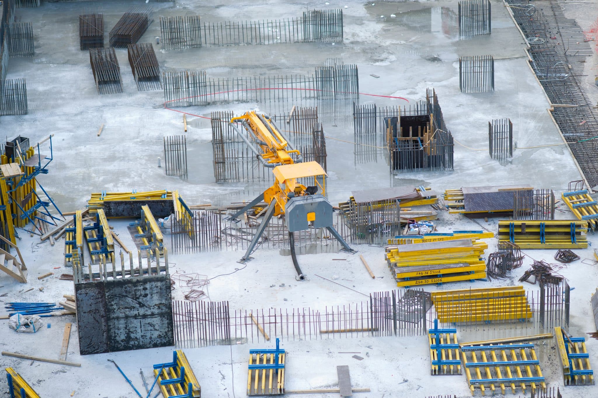
Having spent years in the commercial construction industry, I’ve seen firsthand how the integration of drone technology and advanced post-processing software has revolutionized site management. Accurate stockpile measurements are essential for staying on schedule and within budget, but the real game-changer isn’t just the drones collecting data—it’s the sophisticated software that processes it into precise, actionable insights.

Traditionally, managing materials stockpiles was a manual, time-consuming and error-prone process. Workers had to physically measure stockpiles, often with basic tools or outdated equipment, and then calculate volumes manually. While functional, this method left room for costly errors. Human oversight, difficult terrain, and sheer site complexity made inaccuracies inevitable. But with the advent of drones and cutting-edge software, we’re solving this problem at its core.
The Limitations of Traditional Stockpile Management
A few years ago, a construction manager I worked with discovered a significant discrepancy between their manual stockpile measurements and actual inventory. This discrepancy wasn’t caught until midway through a critical phase, leading to a materials shortfall. Rushed orders from a supplier not only cost a premium but also caused delays that rippled across the schedule. On top of that, the supplier had overbilled them in the past—errors they didn’t realize until after adopting drone-based measurements.

This is a common scenario in construction. Without accurate and timely data, it’s difficult to spot errors or hold suppliers accountable. Over- or underestimating stockpile volumes can lead to either overordering, which ties up capital and space, or underordering, which disrupts progress. Either way, the project suffers.
How Drones and Software Work Together
Drones bring speed and efficiency to data collection. They can quickly fly over a site, capturing high-resolution aerial imagery of stockpiles from multiple angles. But the real magic happens in the post-processing phase. Using advanced software, this imagery is transformed into orthographic images—highly accurate, to-scale maps of the site. From these images, the software generates precise 3D models and calculates stockpile volumes with unparalleled accuracy.
This process eliminates the guesswork. Instead of relying on rough estimates, project managers now have a reliable, detailed view of their materials inventory. The combination of drones and post-processing software ensures that every measurement is precise, helping teams make informed decisions about ordering and allocation.
The Benefits Go Beyond Accuracy
Regular drone flights, coupled with software processing, also create a digital timeline of site progress. This visual record allows project managers to monitor the movement and depletion of materials over time. It also provides stakeholders with transparent updates, fostering trust and collaboration.
Moreover, the post-processed data isn’t just useful for measuring materials. The orthographic images and 3D models can be integrated into broader project management tools, helping teams plan and coordinate everything from equipment placement to site safety measures.
A Smarter Approach to Construction
One of the most rewarding aspects of my work is seeing the tangible benefits of these technologies. I’ve worked with teams that saved thousands of dollars by identifying discrepancies in supplier invoices using drone-generated data. Others have avoided costly delays by catching stockpile shortages early.
The combination of drone technology and post-processing software is transforming construction site management. It’s not just about having the latest tools—it’s about empowering project managers with the information they need to make smarter decisions.
If your site is struggling with inaccurate stockpile measurements, delays, or supplier disputes, it’s time to consider a more advanced approach. Drones and software don’t just make the process easier—they make it better. Let’s put them to work on your next project.
From The Editor:
Do you need to hire a professional drone service provider for your project? To speak to an aerial data specialist, fill out a form, email us or for even faster response times, give us a call at (833) FLY-4YOU or (833) 359-4968. Check out our transparent pricing at https://aerialdecisions.com/drone-photography-pricing/ and watch this space as we expand on the above topics and more over the coming weeks and months.
If you like this post, feel free to click the share button at the bottom of the page. We appreciate you helping us by spreading the content we share on our blog.

Showcase Your Company on the Drones and Construction Podcast! If you’d like to be a featured guest on our podcast, send us an email: info@aerialdecisions.com and one of our crew will get right back to you to share the details.
About Aerial Decisions
Aerial Decisions is a Los Angeles-based Drone Services Provider (DSP). We specialize in providing cutting-edge drone data collection combined with industry leading software solutions tailored for the commercial construction industry. Our mission is to optimize the way enterprise construction projects are managed by offering precise aerial photography, detailed data analysis, and innovative software tools through a network of FAA-certified and insured drone pilots. Aerial Decisions is not just a drone service provider; we are your strategic partner in commercial construction. Our hands-on approach to understanding your unique requirements and our dedication to excellence ensures that every flight and every data point is optimized for your success. Trust us to be the eyes in the sky that elevate your construction projects to new heights.
- Drone Mapping for Commercial Construction Projects - January 2, 2026
- Drones and Construction – The 2025 Outlook - February 8, 2025
- The Future of Business: Top 7 Commercial Drone Applications Across Key Sectors - January 19, 2025

