Photogrammetry in Commercial Construction: Turning Drone Images into Measurable Data
February 25, 2026 by Jim Gibson

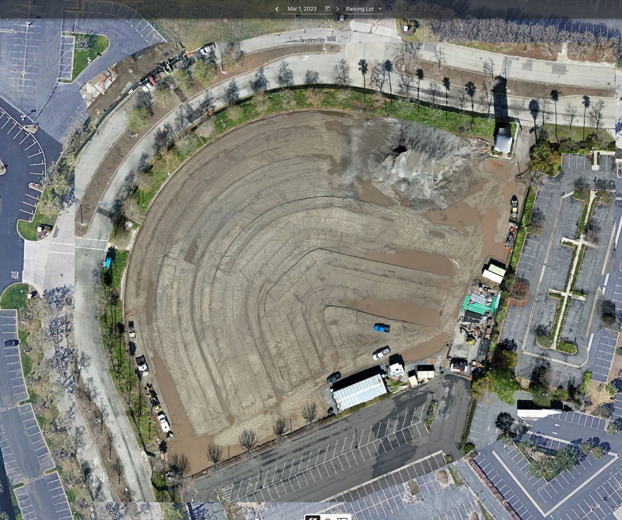
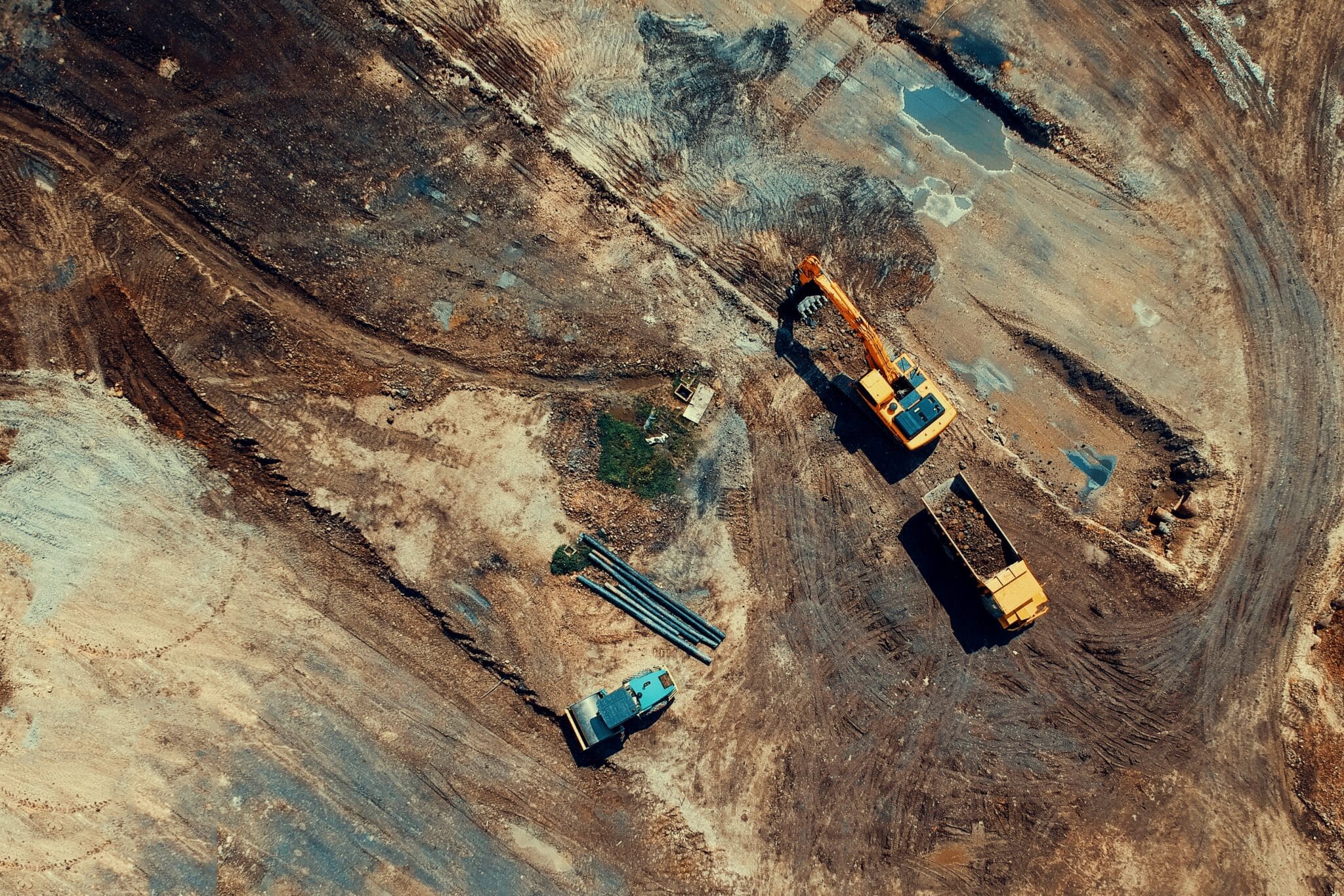
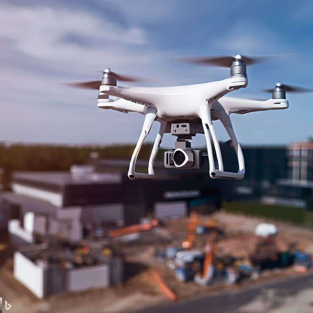
Introduction: Bringing Measurable Clarity to the Jobsite Most commercial construction leaders don’t need more photos — they need clarity they can measure. Across Southern California projects we support at Aerial Decisions, one of the most common questions we hear from General Contractors and Owners is: Photogrammetry is what allows us to answer those questions with data — not opinion. When ...
Read More